Quote (ChivasRegal @ Oct 9 2017 11:04am)
the gleasons FE map is believed to be the most accurate/scaled map btw, not the pic u posted
which is this more or less
https://www.digitalcommonwealth.org/search/commonwealth:7h149v85z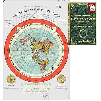
Alex, Gleeson a civil engineer who put the map together lived in 1800's. Which brings the full accuracy into question with today's technology
No matter which map is more accurate the question remains the same
How do you know the map layout and shapes are correct and how where the continents discovered to be that shape and arrangement?
Better yet, what modern confirmation do we have the map is correct with the technology available today?
This post was edited by kai_jph on Oct 9 2017 03:58am